Stop EXMO20

See it for yourself

Visuals

Drag the bar to compare the EXMO20 site today with an illustration of the allocated area filled with about 700 homes.
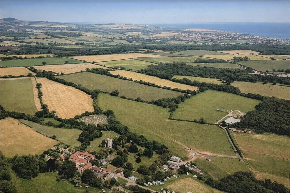
Aerial photo of the EXMO20 site today: fields, hedgerows and woodland around St John in the Wilderness church
St John in the Wilderness
TodayIllustration
This is an illustration, not a photo or an official image. It shows the extent of the land allocated as EXMO20 (inside the red line), with one house symbol for each of the "around 700 homes" in the draft Local Plan and the approximate line of the main access road from the B3179. It is not the developer's layout: the actual plan would also include open space, a buffer next to the Pebblebed Heaths and other uses, and the details would only be settled in a planning application. You can see the developer's own framework plan on its website.

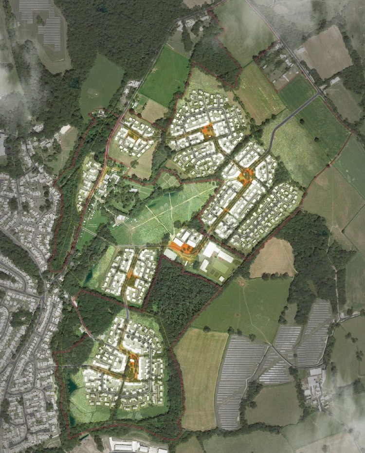
From above: the developer's masterplan
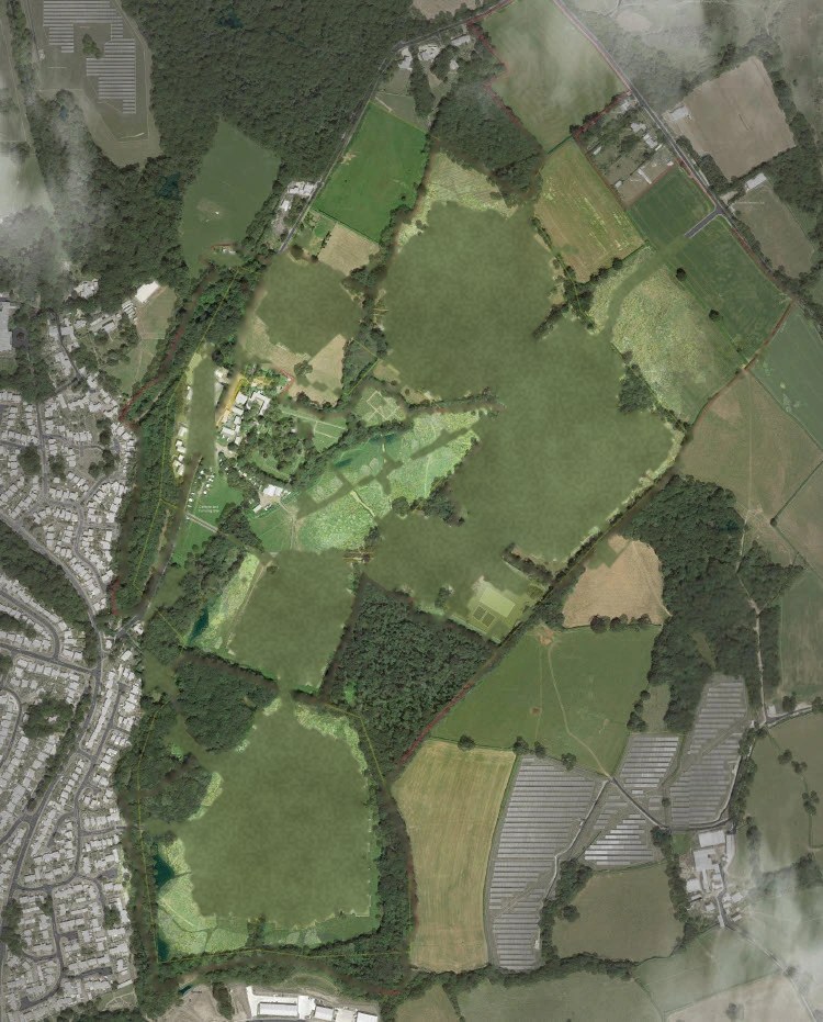
Aerial view of the site with the proposed buildings removed: fields, hedgerows and woodland next to Exmouth
The developer's illustrative masterplan for EXMO20: housing estates, roads and community buildings across the fields
FieldsMasterplan
Right: the developer's illustrative masterplan image for EXMO20, © 3West, from its public community webinar (2026, materials on the developer's website). It is reproduced here for comment and criticism. Left: our edit of the same image, with the proposed buildings, estate roads and the developer's red site line painted out to show the land as fields. The edit is approximate and is not a photograph. Existing woods, fields, houses and the hamlet at St John in the Wilderness are left as they appear in the original.

What the plans say about this land

The proposal would urbanise approximately 85 hectares of currently undeveloped countryside and introduce a substantial new population into an environmentally sensitive location.East Devon District Council, environmental screening decision 26/0005/EIA, 10 July 2026
The site is visible from surrounding roads, elevated viewpoints, publicly accessible countryside and parts of the East Devon National Landscape.The same decision
Virtually all of the site is well-screened from views from the surrounding areaThe promoters' 2021 vision document (council copy)

See more in what the developer's own plans show and then and now.